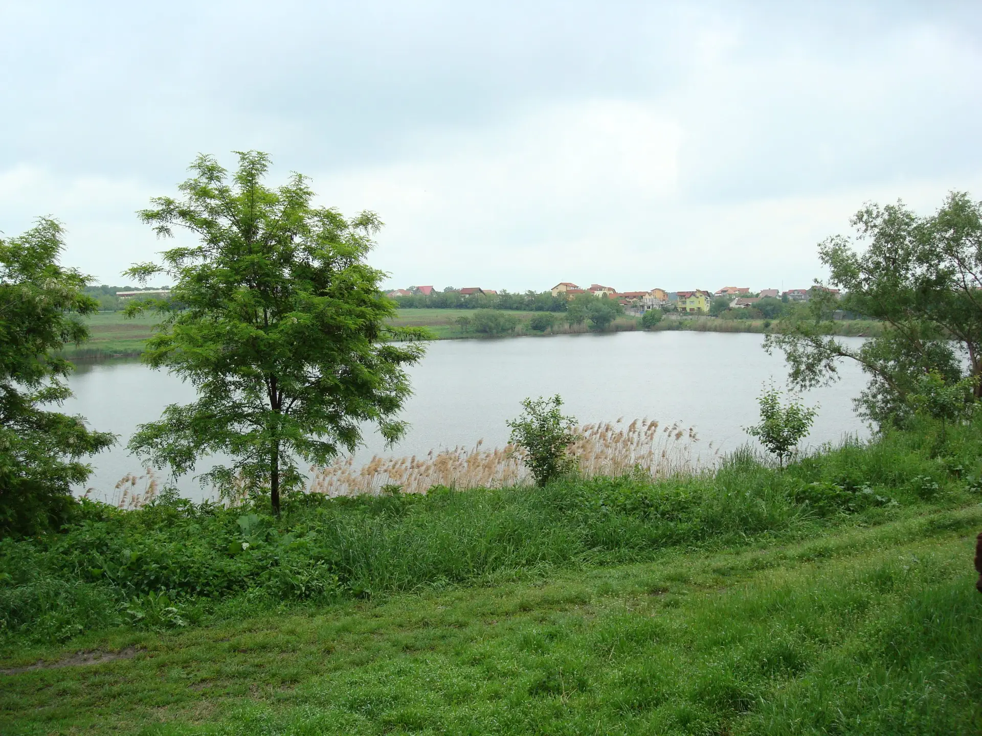
Lake Cernica and trees along its vegetated shoreline.
History discipline trophy

HISTORY, LAW & CIVIC RECORD

History

Tânganu: Water, Woodland and the Former Channel

A photographic journey through the lakes, woodland and waterways of the Cernica country, with the medieval monastery of Tânganu at its historical heart.

Lake Cernica in spring, photographed in May 2008. Its broad waters and wooded margins form part of the Colentina lake system east of Bucharest.

Photograph: eug.sim · 4 May 2008 · CC BY 3.0 · Wikimedia Commons

The natural defences of a medieval foundation
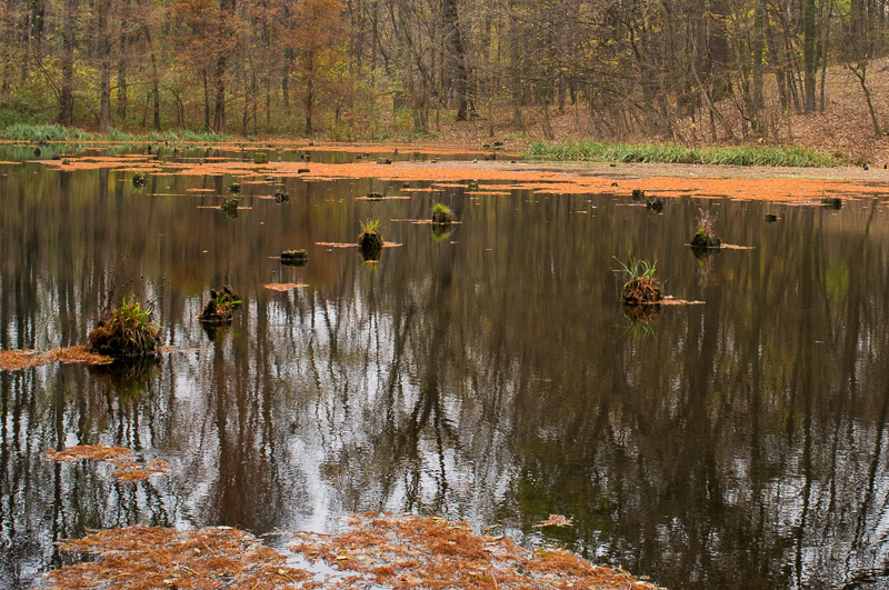
The monastery occupied firmer ground in a wet landscape. Panait and Turcu’s excavation report describes a low terrace promontory near the meeting of Valea Tânganului and an old channel of the Dâmbovița, with woodland to the north and water or marsh on several sides. Natural barriers formed part of the site’s protection.

A water-filled hollow in today’s Cernica Forest captures the changing interplay of trees, low ground and water characteristic of this landscape.

Dark water reflecting leafless forest trees, with little grass clumps and autumn leaves along the bank.

A shallow, water-filled hollow beneath the trees of Cernica Forest, from a photographic essay on the area's autumn landscape.

Source: Marius Petrini photographic essay

Waterways of the Cernica landscape
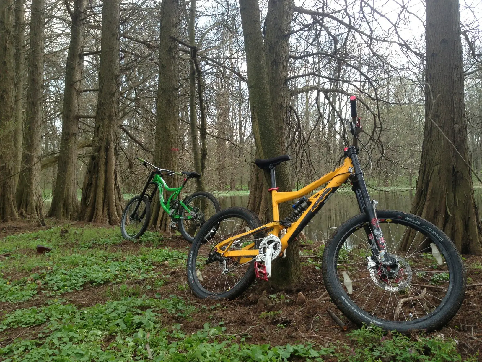
Lake Cernica belongs to the modern Colentina water system. Its wooded shores, low banks and quiet expanses of water offer a vivid view of the region’s wetland scenery.

The National Archaeological Repertory records the vanished Tânganu monastery site under Pădurea Tânganu / La Biserică / La Cantoare. Panait and Turcu’s excavation account, together with the site’s archaeological plans, illuminates the earlier waterways and natural setting of the medieval foundation.

A wooded lake edge in the Cernica area, with calm water and trees.

Wooded lake shore in the Cernica area, photographed in April 2013. Trees and low banks meet the quiet water.

Photograph: MAVone · 11 April 2013 · CC BY 3.0 · Wikimedia Commons

Approaching across land and water

Paul of Aleppo described reaching Tânganu by boat during his visit in 1657. Water shaped the monastery’s approach, isolation and natural protection. The grassy track in the accompanying Cernica landscape photograph offers a view of open ground descending towards the water’s edge.
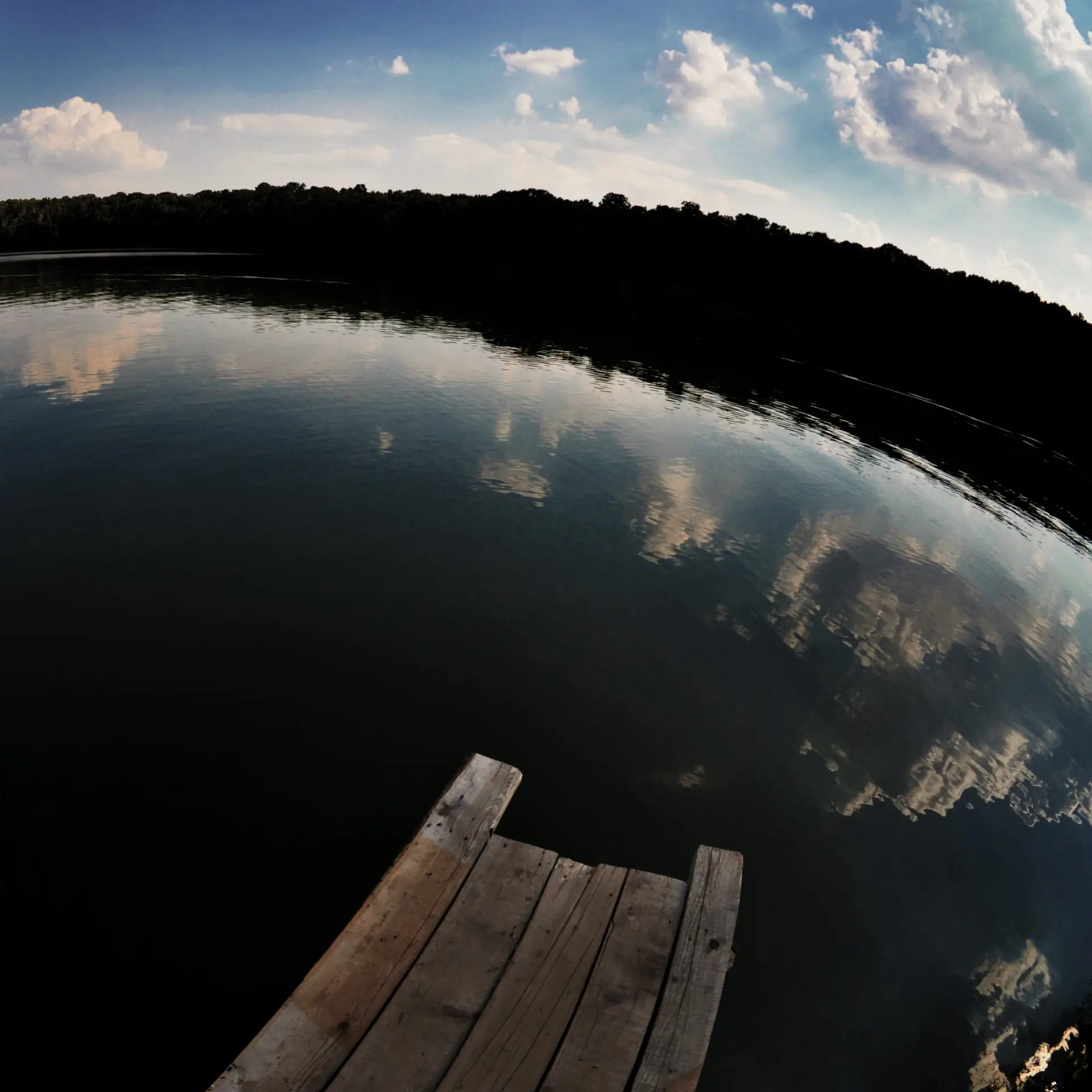
A square view of Lake Cernica and its surrounding shoreline landscape.
Lake Cernica, on the Colentina water system, photographed on 15 August 2011. A view of the water and woodland east of Bucharest.

Photograph: fusion-of-horizons · CC BY 2.0 · Wikimedia Commons source · Licence

Excavation reports, historical maps and measured site plans help trace the monastery’s changing relationship with the waterways around Tânganu.
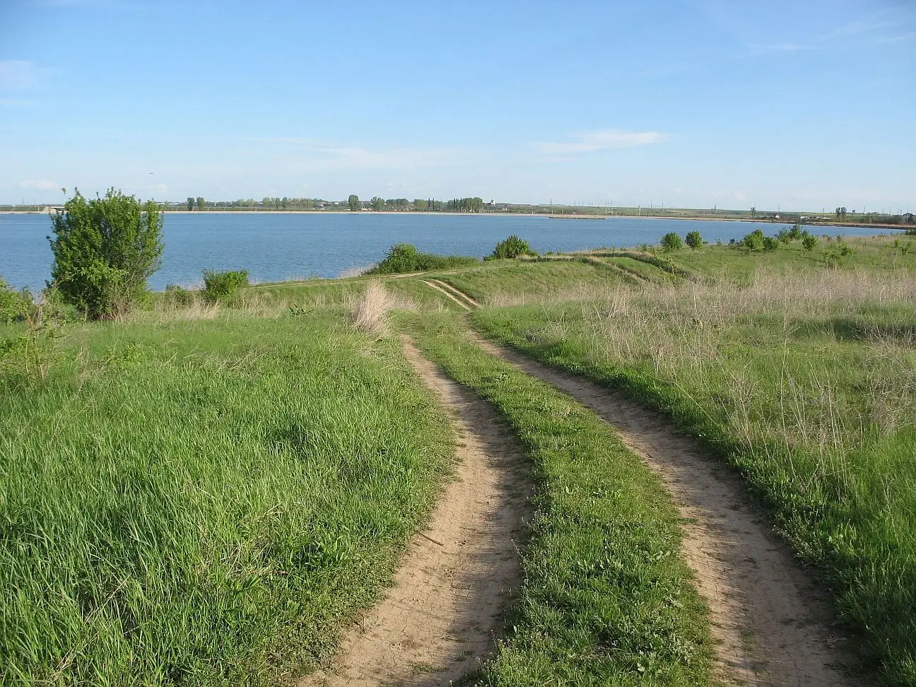
Two parallel earth tracks lead across green grass towards a blue lake, with scattered shrubs and distant trees.

A grassy track along the shores of a lake near Cernica, reproduced in a 2012 illustrated archaeological visit.

Source: Cercul de stele